|
||||||
|---|---|---|---|---|---|---|
Mount Tam Mountain Bike Trail MapDiscover the best mountain bike trails on Mount Tamalpais |
|---|
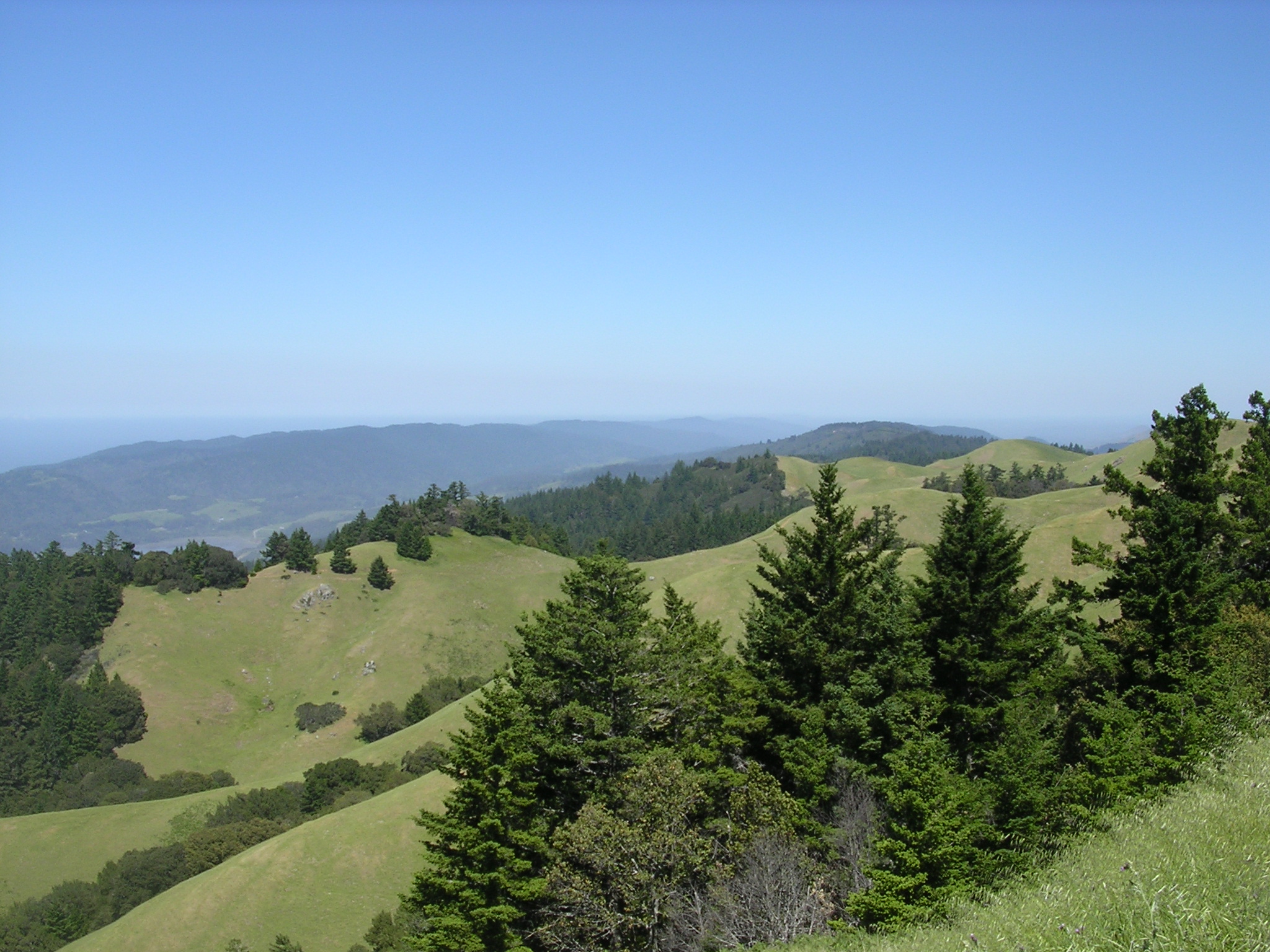 |
Mount Tamalpais Area Summary Description: Well, the good news is that bike technology has improved dramatically since then. The bad news is that the number of trails available to bikers has been severely limited on Mount Tam, with single-track all but eliminated. That said, Mount Tam still offers plenty of great riding through widely varied terrain and vegetation. The southern and western slopes of Mount Tam are largely covered in scrub with intermittent stands of evergreen trees. The northern slopes are more heavily wooded with oak and evergreen forests punctuated by meadows and lakes. The rides also offer great bay, city and ocean views. Combine these assets with its proximity to San Francisco and its convenient access and it's no wonder that Mount Tam remains a major destination. |
Click here to preview the Mount Tamalpais State Park Mountain Biking Map |
Mount Tam Featured Rides Featured Ride 1 Start in Ross on Lagunitas Road. Roadside parking is available. Begin riding up Lagunitas Road. Within a mile you will enter the Natalie Coffin Greene Park and soon reach a parking area (almost always full). Mileage begins here. Cross bridge and head uphill on the main fire road. Featured Ride 2 Begin route at trailhead on Hwy 1, 1.5 miles north of Muir Beach. Head uphill on Coastal Trail, a wide single-track. Pass intersections at 2.6 and 2.7 miles continuing on main trail to Pantoll Ranger station. |
Mount Tamalpais Bike Trails Beginner Level Trails Laurel Dell Fire Road - Easy fire road through scrub and meadows. Intermediate Level Trails Eldridge Grade - Long fire road climbs the northeast face of Mount Tam. Advanced Level Trails Tender Foot Trail - Lone single-track on Mount Tam from near Mountain Home to Cascade Drive. Very technical in places. Directions to trailhead(s): |