|
||||||
|---|---|---|---|---|---|---|
Russian Ridge to Saratoga Gap Mountain Biking Map
|
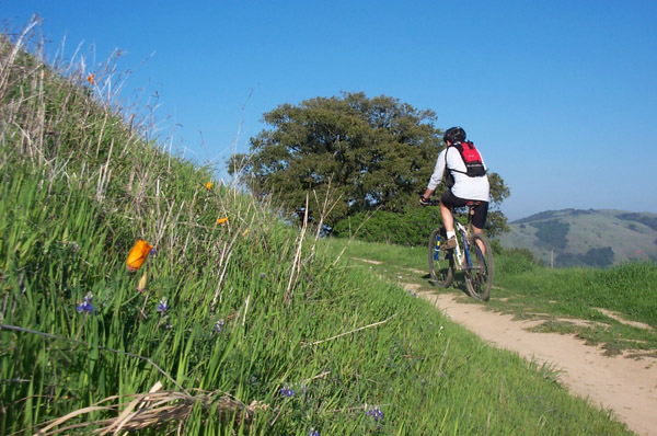
Russian Ridge Area Summary The Mid-Peninsula Regional Open Space District manages a vast network of land holdings in San Mateo and Santa Clara Counties. much of which is open to mountain biking. Bikers owe them (as well as the local trail access group - R.O.M.P.) their gratitude not only for protecting these beautiful areas, but also for treating us as legitimate users. The result is miles of open fire roads and single-track just a short drive from San Jose or Palo Alto. This map covers the area stretching from Saratoga Gap near Saratoga to Russian Ridge near Page Mill Road. The area encompasses open grasslands and meadows as well as wooded hillsides and canyons. While there are miles of single-track, none of the trails are technically difficult, making the area ideal for beginners and intermediate riders. |
| Click here to preview the Mid Peninsula Open Space Mountain Biking Map |
The Trails Easy/Intermediate Level Trails Saratoga Gap Trail - Rolling single-track through woods. Advanced Level Trails Charcoal Road - Very steep, long hill. Uphill only. |
| Directions to trailhead(s): The MPROS areas are located approximately one hour's drive south of San Francisco and 40 minutes west of San Jose. Russian Ridge parking is located at the intersection of Skyline Boulevard (Hwy 35) and Page Mill Road. Skyline Ridge parking is located one mile south of the this intersection. Saratoga Gap parking is at the intersection of Skyline and Hwy 9. Access routes to Skyline from I-280 include Hwy 92, Hwy 84, Page Mill Road and Hwy 9. |